Description

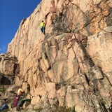
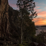
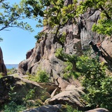
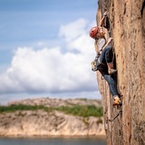
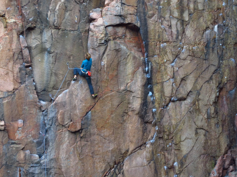
Träleberget is a rather impressive crags rising almost directly from the sea. Here you will find a lot of nice routes in most of the grades.

CLIMATE
The crag is facing all directions from south to north-east. The routes at the left end of the crag get in the sun before noon and then the sun moves slowly upwards. The route at the right end of the crag stay in the shade the whole day. Some routes dry fast while the others take long time to get climbable.
Note that due to the vicinity of the sea the frost weathering can be stronger here than at other crags in the area.
Sunny summer days can be very warm here while on windy and cloudy days you can freeze here even in the summer.
If it is too warm, you can just jump into the water below the crag.

THE ROUTES
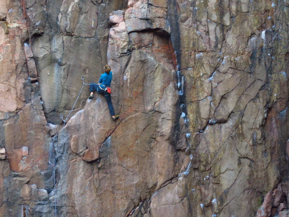
The routes are between 8 and 45 m. There are all kind of routes here: steep, vertical and really slabby. Most of the routes are bolted and all routes are equipped with lower-offs.
History

The development started here in 2010/2011 by mostly Henrik Bolander and Jens Larssen. The first crag to be developed was Träleberget. Some years later the local Fredrik Lundqvist started to develop routes here as well. Fredrik was the one to open the crags to all the climbers by putting up several easy routes in the area.

Träleberget

Climbing has been limited!

⛔️ CLOSED SECTORS ⛔️
No climbing at sectors Rampen, Korridoren and Amfiteaterna (these are presented in the printed guide book). Hangers and anchors has been taken down after an agreement between the landowner and the local climbing club.

TRÄLEBERGET
There is a voluntary climbing ban from 1 January to 15 July. This ban can be adjusted depending on the bird nesting. Check this pages for updates.

NOTE As there is no nesting this year 2024 it is now OK to climb at Träleberget.

See also updates at https://access.klatterforbundet.se/traleberget/.

🚗
From Gothenburg take motorway E6 towards Oslo. Leave motorway at Torpamotet (junction 96.2, signs for Orust/Tjörn/Lysekil) and follow road 161 towards Lysekil. Take the ferry and then turn left onto road 162 (about 2 km after the ferry). Take than first road to the right (after about 600 m, signs for Trellebycamping). Follow the road for 1,3 km and park at the camping (pay parking fee at the reception).
The distance from Gothenburg is about 110 km.

🚶‍♀️
From the parking lot follow the signs for the beach. Just before the beach turn left and cross a small creek. From there follow the coast and you cannot miss the crag. The walk-in is about 1 km (the approach can be rather slippery in rain).
Note that this approach is not for trolleys or very small children.