Routes

42 sport 5 trad

The area is access sensitive

The previously recommended parking opposite house no. 9 along Svarttjärnsvägen is now disapproved by the house owner and he requests that no one park there or directly across from him on the other side... Read more

We like Svarttjärn

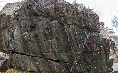
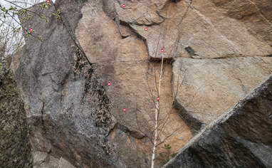
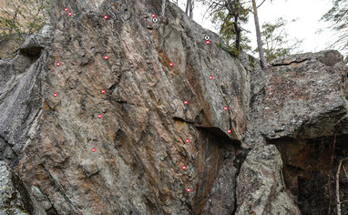
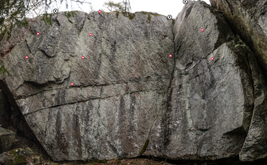
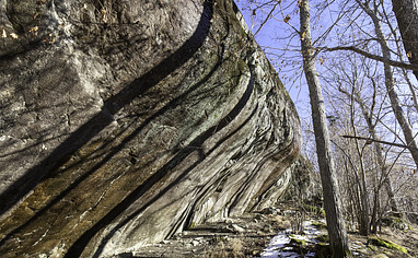
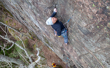
Fin klippa med korta överhängande leder som huvudattraktion.
Den branta huvuddelen av klippan måste ha Stockholms (Sveriges?) häftigaste stenkvalitet! Lite bökig anmarsch, men lätt värt det om man bekvämt klättrar sjuor eller åttor.
Sjukt fin klippa, men får nog hänga lite i en list i en källare någonstans ett tag för att få ut det mesta av den.

Activities on this crag

Svarttjärn

The area is access sensitive!

The previously recommended parking opposite house no. 9 along Svarttjärnsvägen is now disapproved by the house owner and he requests that no one park there or directly across from him on the other side. He wants people to only park at the end of the road where there is a small space for only two cars.

The parking situation can sometimes be problematic if many climbers arrive on the same day. Newer block or use any of the house owners parking space along the road. The parking near the end of Svarttjärnsvägen is not really a proper parking space. You can park there but only twocars can fit. If the road is full of cars there will most likely be problems. If that's the case, please park somewhere else far away!

Directions:
Take Värmdöleden (road 222) towards Gustavsberg. Turn off towards Ingarö. Turn right in Brunn, towards Mörtviken. Follow the road for about 2.7 km and turn left onto Enkärrsvägen. Follow the road for about 1.8 km and then turn right onto Svarttjärnsvägen. Follow the road for a couple of hundred meters and park approximately at the end of Svarttjärnsvägen. Follow the path (which initially goes immediately to the right of Svarttjärnsvägen) about 250 m. The path splits (T-cross), take the right (the one on the left is marked in blue). Walk a bit along the lake and turn left along a ridge-like formation in rocky terrain. A telephone line appears after 100 meters. Continue in the same direction along the slabs and you should enter a smaller path. After a couple of hundred meters the path goes down a small slope through the forest and pretty soon the crag should be visible to the left. If you missed the path down trough the forrest you will most likely very soon see a cairn (röse), you can access the crag by turning right at the cairn and continue about 25 meters through the bush. The crag is immediately below and continues to the left. The whole walk takes about 12 minutes from the car.

Public transport:
Bus 428 from Slussen. Get off at Enkärrsvägen. Travel time 39 min. Continue with the same direction as above.