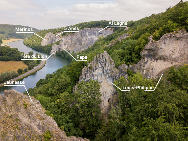
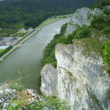
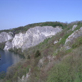
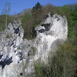
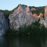
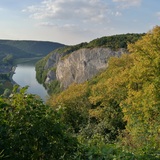
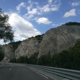
Old-school paradise, home to over 600 routes of all grades (3 - 9a). Usually vertical, fingery climbing with overhanging sections, many challenging problems and also multipitch routes (0 - 120 meters). God knew such crazy climbing must be surrounded by a beautiful scenery and so he created a big river - the Meuse - and the Freyr Castle.
Freyr is alive and kicking thanks to the Club Alpin Belge (CAB). Please ensure to be member of a Belgian alpine club (CAB, KBF; or if you live outside Belgium, other UIAA member federations). For the NKBV (Netherlands), a special "klimjaarkaart" is required.
🏕
There is a bivac field (3€) and a hut (5€) with a heater, dry-toilet and water. For more information about the facilities or the climbing in Freyr, please contact the guardian.
📧gardiendefreyr@clubalpin.be
☎️ +32499/90. 51. 87
📙Excellent paper guidebook (2014, Ruben Beckers & Marc Bott) can be bought online.
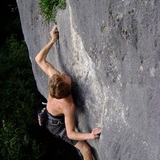
Freyr's fauna and flora had a significant role in the development of modern sport climbing.
4 fictive “periods” can be distinguished:
👑 The pioneers: Xavier de Grunne and the Belgian King (!) Albert I opened the first line in 1930, a 45 meter dihedral. After them, many others came to explore the high walls of Freyr, first as a training for climbing in the Dolomites and on expeditions, but soon it became a game by itself.
🌕 Claude Barbier and the “yellow pointing”. Barbier was among the first in Europe to focus on “free climbing”. He painted the pitons yellow to indicate the sections that could be climbed free. That way Freyr became an international destination among climbers who wanted to discover the (for that time) high level in free climbing - that was of course still with pitons, rope around the waist and mountain shoes.
🔩 In the 70’s and 80’s “sport climbing” replaced the traditional “free climbing” (the same, but with safe gear on solid equipment) and so the level exploded. Arnould ‘t Kint opened mythical routes that were among the hardest in the world at the time. For example: 13 Boulevard du vol in 1981 (world’s third 8a) and Shingen 8b+ in 1987. And everything with style: sexy pants and long hairs.
🧗♂️ In the early 2000’s the young Nico Favresse arrived at the Freyr University. He freed many unsolved projects and opened the last king lines of the spot. Also his timid friend Sean Villanueva graduated there with his first highlines and learned to play the flute very well.