
🧗♂️ Overview:
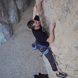
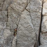
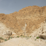
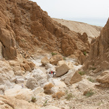
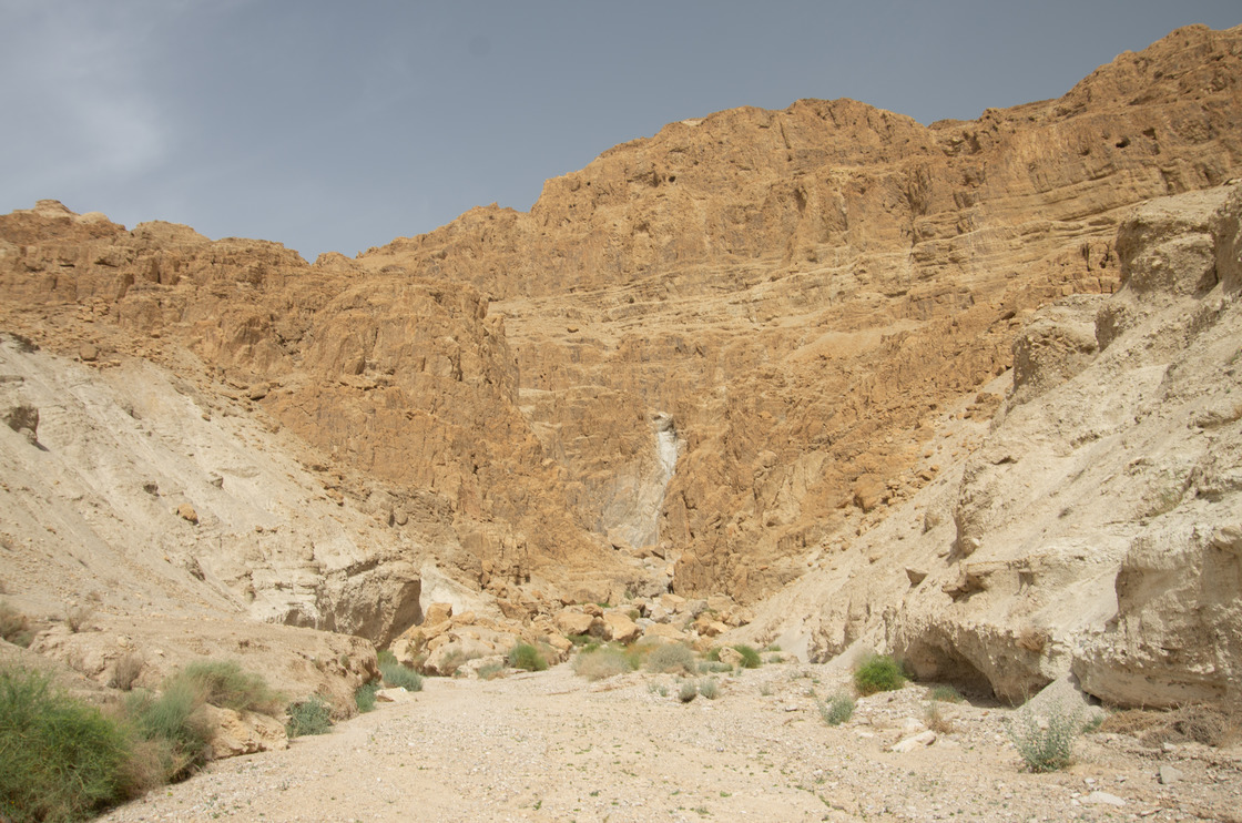
Wadi Tamer is a small, remote climbing area located a few hundred meters from the western shores of the Dead Sea. What it lacks in quality rock climbing, it makes up for with rugged desert vibes and views across the Dead Sea to Jordan. The rock quality here is questionable at best and the fact that most of the climbs ascend a dry waterfall from seasonal flooding means that the rock is usually coated in sand and debris. This is also one of the only areas in Palestine that offers multi-pitch traditional climbing.
🍂❄️🍃 Season:
As Wadi Tamer is located roughly 450 meters below sea-level, the only reasonable time to climb here is during the cooler winter months. During the summer it is unbearably hot. That being said, during winter be aware of the weather because rain at higher altitudes does mean flash flooding in Wadi Tamer! So, check the local weather forecast on the day of your climb!
🔩 Gear:
The routes here are a mix of sport and traditional climbs. Many of the bolts and anchor stations situated on the face of the dry waterfall have been smashed or warped by falling rocks during periods of flash floods. The trad placements are often creative and sketchy. Wearing a helmet is an absolute must! Be prepared for anything!
Conflict:
Wadi Tamer is located in a part of the West Bank rarely visited by Palestinians. The fact that Route 90 dead ends in a checkpoint to the south means that there are few reasons Palestinians travel that way. Wadi Tamer is accessible for Palestinians but bear in mind that a green-plated Palestinian car could arouse some suspicion in this area.
Other Activities:
A trip to Wadi Tamer could easily be combined with a visit to the Dead Sea and/ or Jericho. Be aware that it is not legal to swim in the Dead Sea anywhere you please. To avoid trouble, it is better to visit and pay the entrance fee at one of the designated beaches like the Kalia Beach resort. Kalia Beach and other resorts are Israeli-owned businesses and constitute illegal settlements in the West Bank. Despite that, many of the visitors to Kalia Beach are local Palestinians from Jericho.