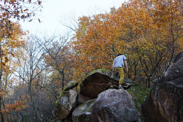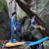
무등산의 암질은 화강암, 안산암으로 이루어져 있으며, 클라이밍 스타일은 볼더링입니다.
천종원 선수가 10 여개의 루트를 개척했으며, 전체 100개 이상의 루트가 있습니다.
각 섹터 별 거리가 멀지 않지만 산 속 이기에 경사가 있어서 이동하는데 쉽지는 않습니다.
등반하기 가장 좋은 시즌은 2~4월, 10~12월 입니다. 5월부터 여름 시즌엔 매우 덥고 벌레가 많습니다.
비가 많이 내리지 않는 이상 보통 이틀 후면 등반이 가능할 정도로 마릅니다.
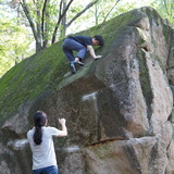
대부분의 볼더가 랜딩이 좋으나 가끔 안 좋은 곳도 있습니다.
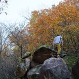
현재 개척된 지역은 국립 공원이지만 이 외의 지역은 사유지일 수도 있으니 주의하시기 바랍니다.
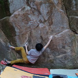
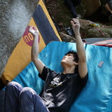
추천 루트:
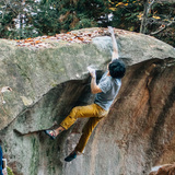
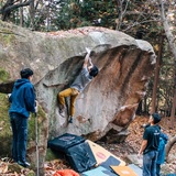
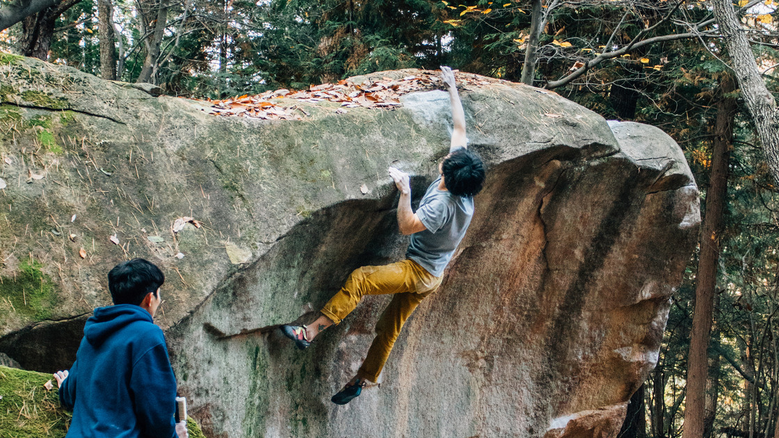
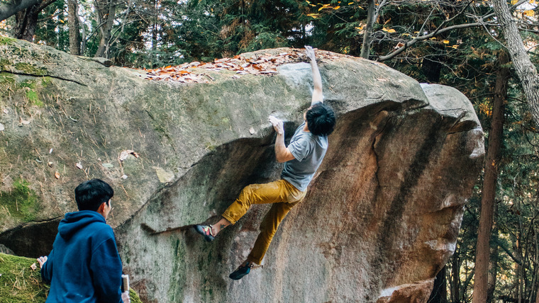
- 나르샤 V5(사진의 볼더)
- 홍일이의 겨울 방학 숙제 V8
- Gear Second V12
The rock type of Mudeungsan consists of granite and andesite, and the climbing style is bouldering.
Chon Jong-won has F.A. more than 10 strong routes, and there are more than 100 routes in total.
Although the distance of each sector is not far, it is not easy to move because of the slope in the mountains.
The best season to climb is February to April and October to December. It is very hot and buggy during the summer season from May.
It is usually dry enough to climb in two days unless it rains a lot.
Most boulders have good landings, but sometimes there are bad places.
Currently, the area that has been opened is a national park, but other areas may be private land.
Recommended route:
-Narsha V5(The route of the photo)
-Hongil's winter vacation homework V8
-Gear Second V12