🔴 ACCESS WARNING: Walking along railroad tracks is trespassing, illegal and dangerous. Do NOT walk on railroad tracks; trespassing and any illegal activity associated with climbers will jeopardize access to boulders. If you chose to use the rail corridor to access boulders, you must walk off the tracks and off the gravel that is private CSX property. The only tolerated exception is CAREFULLY crossing directly from one side of the tracks to the other, going from NPS land to NPS land. If you are near tracks, keep your eyes and ears open for trains and keep a large distance from the gravel. Trains are dangerous; coal and rocks often fall from or are thrown by trains. Trains can't stop. Don't make the conductor think they have any chance of running you or your dog over. Be respectful and polite to any railroad worker you see. This is VERY important to future access to all climbing areas near train tracks.
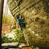
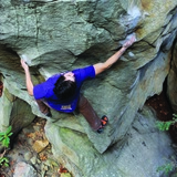
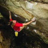
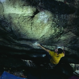
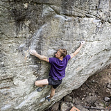
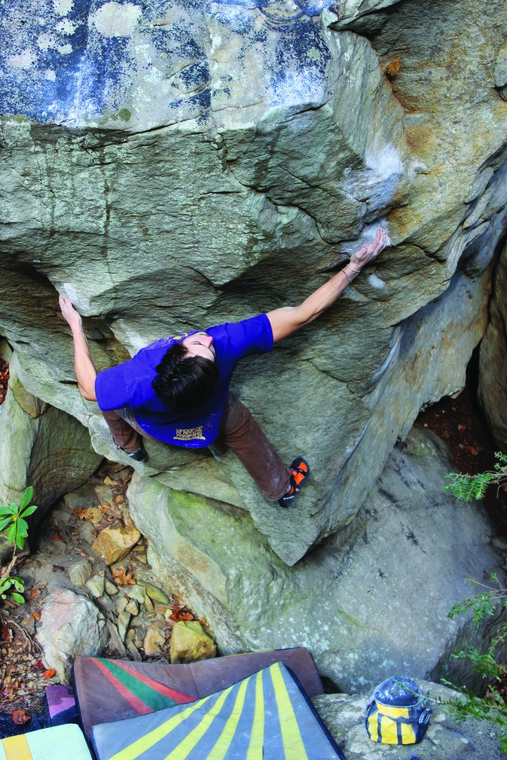
Fern creek is an adventurous bouldering area in a spectacular setting. The boulders line a steep, cascading creek that is far from typical hiking areas that are on most New River Gorge visitors' radars. The rock at Fern Creek is some of the best at the New, especially when you get into the harder grades, and boasts possibly the best circuit of V10+ of any single area in the region. For exceptional, entry double digit boulders "F5" and "Lord of Chaos" are not to be missed.
🚶♂️ Approach summary - Very rugged. 12 to 15 minutes on railroad tracks followed by 10 to 15 minutes up the side of the gorge.
💎 Notable problems - "Violator" V2, "Last Bastion" V3, "Silver Bullet" V4, "The Creator" V4, "Dopey" V5, "Scoop Dyno" V7, "Dial 411" V7, "A Thousand Rubies" V7, "Creme Bruladies" V8, "A Million Diamonds" V9, "F5" V10, "Lord of Chaos" V10, "Lord of Chaos SDS" V11, "Relic, Rapture, Wrath" V12
💧 Dry time - 1 to 2 days, a few problems require longer.
🍂❄️🍃 Seasonal Beta - Best fall to spring, this side of the gorge receives direct sunlight and can be a good winter destination, although the rooms with "Lord of Chaos" and "F5" remain cold.
🚗 Drive from downtown Fayetteville - 15 minutes
🚗 Drive from Summersville - 40 minutes
🚽 Bathrooms - Pit toilets across the bridge at the parking area for Fayette Station Boulders.
📶 Cell phone service - 3/5, okay.
🐶 Dogs - Must be leashed at all times. This is National Park land.