🚶🏻♂️⏱ 60' / 3,2 km - ⏱ S - ⇡ 1950 mt
🇬🇧 ENG
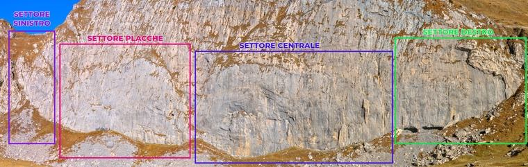
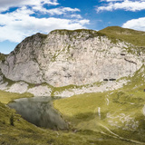
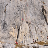
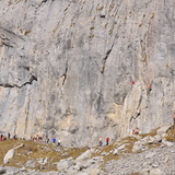
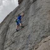
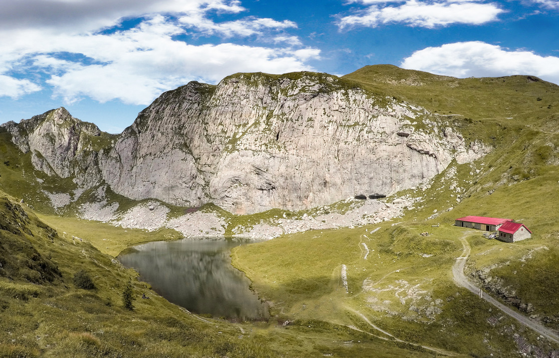
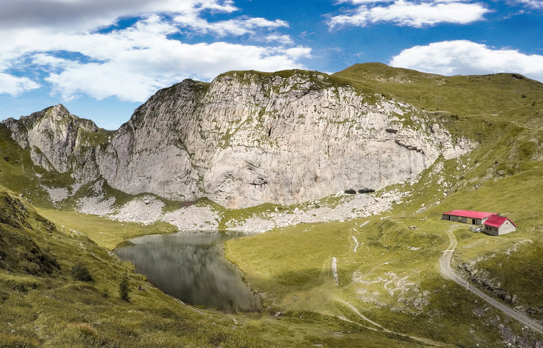
The basin of Lake Avostanis is closed to the north by a very solid limestone wall, finely chiseled by superficial karst phenomena, about a hundred meters high and almost 300 meters wide.
The cliffs are located at altitudes between 1900 and 2000 m and face south. The best time for climbing is from the end of May to mid-November, in the winter months the presence of snow makes access and frequentation of the cliff problematic.
It should also be borne in mind that, given the altitude and the position close to the summit ridges, in case of bad weather, the lake basin is invaded by clouds and the temperature can drop abruptly even in the summer months. In the height of summer, with clear skies, it is also advisable to avoid the central hours of the day. In case of rain it is impossible to climb but most of the wall dries very quickly.
🇮🇹 ITA
La conca del lago di Avostanis è chiusa a nord da una parete di calcare solidissimo, finemente cesellato da fenomeni di carsismo superficiale, alta un centinaio di metri e larga quasi 300 m.
Le falesie sono poste a quote comprese tra i 1900 e i 2000 m e rivolte a sud. Il periodo migliore per arrampicare va da fine maggio a metà novembre, nei mesi invernali la presenza di neve rende problematico l’accesso e la frequentazione della falesia.
Bisogna anche tenere presente che, considerata la quota e la posizione prossima alle creste sommitali, in caso di maltempo, la conca del lago viene invasa dalle nubi e la temperatura può abbassarsi repentinamente anche nei mesi estivi. In piena estate, con cielo sereno, è opportuno altresì evitare le ore centrali della giornata. In caso di pioggia è impossibile arrampicare ma gran parte della parete asciuga molto rapidamente.