
Access is sensitive
🅿️⛔️ The main parking is quite small and offers just 3 or 4 parking spaces. It's necessary to keep space for farmer's traffic. There are more parking possibilities at the road up the hill. 🚗 This cra... Read more
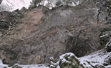
We like Sachsenmühle Süd


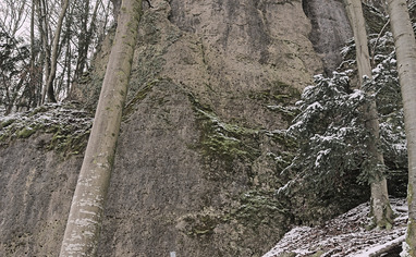
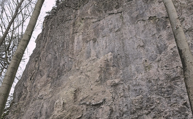
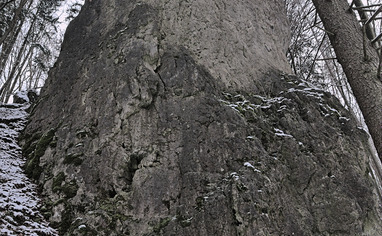
Activities on this crag
Nearby crags


Access is sensitive!
🅿️⛔️
The main parking is quite small and offers just 3 or 4 parking spaces. It's necessary to keep space for farmer's traffic. There are more parking possibilities at the road up the hill.
🚗
This crag is located at the north facing riverside of Wiesent around the mill "Sachsenmühle". Comming from West drive up Wiesent-valley via "Ebermannstadt". The mill is 14 km after "Ebermannstadt". Coming from East/North drive down Wiesent-valley via Behringersmühle. The mill is 2.7 km behind "Behringersmühle". At the mill there's a road branching of leading over a bridge towards "Gößweinstein/Leutzendorf". Take that road and turn right after the rail road crossing into the forest road. Leave the car after 80 meters. For further parking drive the road ahead after rail way crossing. There are several possibilities.
🚶♂️
Leutzendorfer Wand:
Go up the road towards "Gößweinstein/Leutzendorf". The sector is next to the road at the crossing towards "Leutzendorf" 800 meters after rail road crossing.
Streugut:
Go up the road towards "Gößweinstein/Leutzendorf". The sector is next to the street 650m after the rail road crossing. A small path is leading to the crag
Hammerwerk:
Go up the road towards "Gößweinstein/Leutzendorf". The sector is next to the street 450m after the rail road crossing. A small path is leading to the crag (fixed rope)
Sachsenmühler Nordwand:
Take the hiking trail from parking stream downwards. After 300 meters there's a trail to your left, leading to the crag.
Langer Johann:
Take the hiking trail from parking stream downwards. After 380 meters there's a trail to your left, leading to the crag.
Fritz Teifel Gedenkwand:
Take the hiking trail from parking stream downwards. After 1 km there's a trail to your left, leading to the crag.
Kolumbuswand:
Take the hiking trail from parking stream downwards. After 680 meters there's a trail to your left. Follow that one for 180 meters and look for a small path leading to the crag to your right.
Wolkenkuckucksheim:
take the hiking trail from parking stream downwards. After 680 meters there's a trail to your left. Follow that one for 280 meters. The crag is to your left at the opposite of the dry creek.