UNLOCK Rochers de Néviau (Dave) Premium

UNLOCK Rochers de Néviau (Dave) Premium
With Rochers de Néviau (Dave) Premium you get:

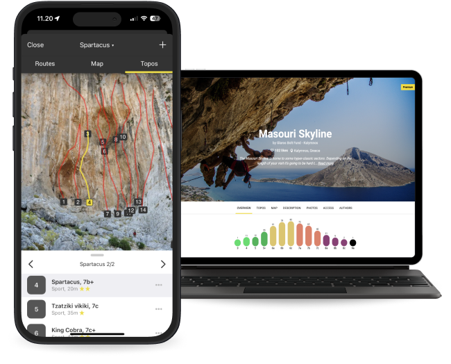
- 192 climbing routes with detailed descriptions
- 39 high quality topo images
- 14 sectors with extra details
- Unlimited access to all the other 4910 Premium crags around the world
- Offline mode: Use topos even when there's no Internet connection
The area is access sensitive!
As for all Belgian climbing sites, you must be a member of Club Alpin Belge or KBF if you are living in Belgium. If you are living in another country and just stay some days in Belgium, you must be a member of your national climbing federation (NKBV, FFME, FFCAM, DAV, OAV, BMC, ....) and covered by liability insurance. The main reason is that in Belgium CAB and KBF are each year paying rent to the different owners of the climbing sites and that is paid with the yearly contribution of the members.
The climbing on the north face of the left cliff (Autrichines) is strictly forbidden due to the risk of falling rock on the road. Top-rope and abseiling is also strictly forbidden on this clif (Autrichiens) for the same reason (hauling the rope let fall small stones that can arrive on the road !).
Top rope is mainly allowed on the central portion with difficult routes. On the other cliffs, you need to climb multi-pitches to the summit. From the summit follow the path direction North (Namur) - red arrows- that leads down to the bunker and back to the foot of the cliffs.
Use of magnesia
Magnesia is totally useless on the easy routes where you have a lot of hand-holds. Since the time the cliff has been climbed, some foot-holds can be quite slippery, but magnesia is no help for that, clean well the sole of your shoes ! In the central overhanging part, the rain cannot carry the magnesia away, instead humidity transform magnesia in a slippery paste. Restrict magnesia where it is really necessary and ... brush the holds after climbing !!
Access by road
Most climbers will arrive in Namur using the Highway E411 from Brussels to Luxembourg. The easiest is to take exit 14 (Namur Sud) and drive down to the city of Namur. At the entrance of Namur (Porte du Luxembourg - traffic lights after the tunnel of railway), turn left and 500 m further at the roundabout turn left to cross the river Meuse (Pont des Ardennes), at the next roundabout, turn right and continue straight direction Yvoir on the RN 947, you will cross another main crossroads with traffic lights then a railway crossing and when you pass the last houses of the suburb Jambes, you will see on your left a parking just in front of the cliffs.
Address for GPS rue de Jambes, 5100 Namur (Dave)
To access the different sectors (look at the map, first photo of sector Autrichiens)
Be very carefull when crossing the road as cars are driving quite fast. Use the crosswalk in the middle of the parking. You arrive at the foot of the left cliff , a small footpath continue to the foot of the others cliffs. Juste after the first left cliff, behind a bunker (former small fortification of the Namur fortification before WWII), you have on your left the footpath to gain access to the sectors Chat and Czardas, but this is mainly the path you will use after the climbing to come down. This is the only path you can use to come down from the summit after the climbing on the others cliffs.


