Access is sensitive
1) Special rules at this crag Phu Mu is a national park. Climbing in national parks in Thailand is generally frowned upon by authorities, and, when discovered, will typically not be allowed. This puts... Read more
We like Phu Mu

Activities on this crag
Access is sensitive!
1) Special rules at this crag
Phu Mu is a national park. Climbing in national parks in Thailand is generally frowned upon by authorities, and, when discovered, will typically not be allowed. This puts the climbing at Phu Mu at risk of of closure.
That being said, Phu Mu has several advantages over other national parks:
1. Except for the sector Waterfall, all the boulders are outside the controlled area. Rangers don't typically go here, and there is no control of who goes in and out.
2. Phu Mu is only a national park in name. While there is an entry booth, you don't have to pay entry and there typically is no record of who goes in and out.
3. The area is remote enough that nobody really cares what you do, you are never visible or even audible from the street when climbing and there is very little risk of the area ever becoming overcrowded with climbers.
Nevertheless, follow local rules: You are not allowed to be on the mountain after dark (officially, after 6pm). This is generally advised, as the animals come out in the evening, including snakes. Don't litter, no fires, no loud noise that will disturb wildlife.
2) How to drive to the crag
There is no public transportation in the area. You need a motorbike or car.
From AH121, turn on 3037 at Ban Non Sawang (โนนสวรรค์). Follow over the bridge that crosses the lake. After the bridge you will come to an intersection, straight up goes to a temple. Turn left towards Phu Mu. Follow the road for another 2km or so up the mountain. Sector Machete is to your left about 100m after a sign that says "sharp curve". Park next to the road. For sector Radar Station, keep driving until you see the ruins of a concrete wall to your left (another km or so). Right after the concrete wall is a dirt street that leads to the left. Drive left, park here. Sector Waterfall requires you to drive to the top of the mountain, into the national park. Keep driving after the entrance, and either walk or drive on the path straight ahead further into the jungle.
3) How to reach the sectors on foot
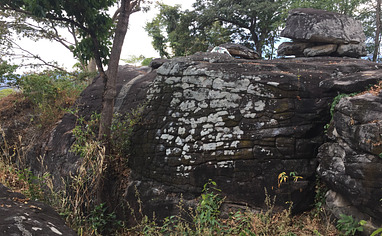
Reaching the sectors on foot is, despite the short access, difficult. For sector Machete, make out the obvious block that is on the left in the beginning of the sharp curve right next to the road. Walk into the jungle to the left of that block. After maybe 50 meters you will find a big slabby boulder. Scramble over it and you will see the little 'canyon' with the boulders.
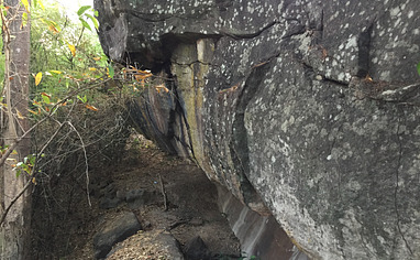
Sector Radar Station is right below the ruins of the old US surveillance base. Walk towards the edge of the cliff, then turn left for about 100m. Follow the edge of the cliff. As a way marker, there are some boulders to your left that are too small to climb on. Around there, it is possible to walk down over a small talus field and right towards the climbing. The first blocks appear right there.
Sector Waterfall is right at the end of the path. Once you can not drive further, you are there.