UNLOCK Klövberget Premium

UNLOCK Klövberget Premium
With Klövberget Premium you get:

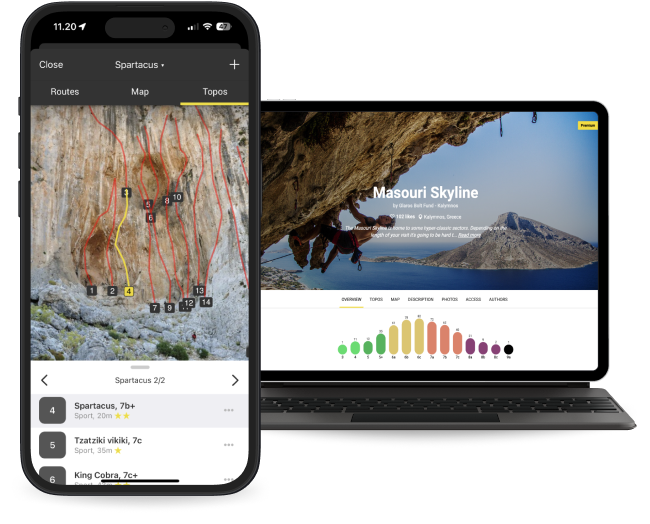
- 26 climbing routes with detailed descriptions
- 7 high quality topo images
- 1 sectors with extra details
- Unlimited access to all the other 4870 Premium crags around the world
- Offline mode: Use topos even when there's no Internet connection
The area is access sensitive!
Klövberget is part of Klövberget's nature reserve from the year 2015. It is forbidden to drill new holes for bolts. You can apply to the municipality to replace old bolts, but then the old boreholes must be used (and they are most likely only 8mm holes). It is also forbidden to mount fixed anchors around trees and to arrange camps for over 40 people.
Park according to the instructions in this guide. Just to the left on the crag (seen from the front) is a plot whose owner does not appreciate climbers. It is not allowed to enter the plot. For the same reason, there is a climbing ban for the handful of routes that lie to the left of Skamvrån and that start from the hill (these routes are not drawn in this guide) which means it's okay to climb all the routes seen in the topo here on 27 crags.
Directions:
From Stockholm, take Road 73 south and turn off into Road 229 (Tyresövägen) heading towards Tyresö. Pass Mcdonalds (seen on the right side of the road) and after a few km you will come out on the Tyresö peninsula (Tyresöalvön). The road now has changed its name to Breviksvägen. Continue about 1,7 km and turn right into Nytorpsvägen. Follow Nytorpsvägen another 1,7 km until it ends and take a left onto Tegelbruksvägen. From Tegelbruksvägen, turn onto Mokärrsvägen. After about 500 meters there is a parking space right about the road, with an information sign about the nature reserve. Park here!
From parking:
Follow the path south for about 100 meters and turn right at the post with a blue marking, and follow the path that leads up the hill. Continue to follow the path and the posts. At the sixth post (which is located just after you go down a bit), you turn off towards the water and the crag. Go north along the cliff about 50 m and a low bushy pine is a few meters from the edge. There is an exposed descent about 15 m away that ends at Skamvrån, but ignore it, it's quite awkward and rather bushy. It is better to leave the packing on top and rappel from the bushy pine above the route Skamvrån.
SL:
Bus from Slussen. Get off at Tegelbruksvägen and then walk according to the map.

