UNLOCK Hartenstein Premium

UNLOCK Hartenstein Premium
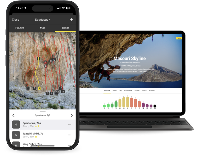
With Hartenstein Premium you get:

- 69 climbing routes with detailed descriptions
- 15 high quality topo images
- 4 sectors with extra details
- Unlimited access to all the other 3632 Premium crags around the world
- Offline mode: Use topos even when there's no Internet connection
The area is access sensitive!
🖐
The owner of "Hartensteiner Wand" was quite annoyed by the climbers. Climbing is still possible after long discussions with IG-Klettern, so stick to following rules and enjoy climbing.
- don't park at the cemetery or access road
- stay on the path
- use the mobile toilette at cemetery
- don't let you kids destroy flora
- no hammocks (?)
- not more than 20 climbers (at whole sector)
- show your fun without sounds
- no fire, no pooping, no and so on
🚗
All sectors are located around the village "Hartenstein" south of "Velden" at the river "Pegnitz". Go to "Velden" and drive south along the river towards "Hersbruck". Just after "Velden" turn left towards "Hartenstein". There are several possibilities to park. All accesses are described from the central parking in the left bend (coming from "Velden"
🚶♂️
Hartenstein:
Take the main road east towards "Oberachtel", then go right to the cemetery. Just behind the cemetery wall is a path leading to the already visible crag.
Gotthardskirche
Go back towards "Velden", after the last left bend in the village take the right road up the hill towards the youth hostel. Go straight ahead passing the hostel to your right until you enter the forest. Here take the left trail (green hiking sign) and follow for that trail for 420 meters until a left bend where's a glade to your right. Pass the glade on the right and get into the forest. Here's a good foot path leading to the crag. you have to get around the hill anti clockwise staying on the same altitude. It's about 240 meters from the glade to the crag.
Piccolino:
Go back towards "Velden", after the last left bend in the village take the right road up the hill towards the youth hostel. Go straight ahead passing the hostel to your right until you enter the forest on the right trail. the sector is to your right next to the trail after 50 meters.
Emporwand:
Go back the street towards "Rupprechtsdegen" for 120 meters and cross the river via the bridge. Turn left and follow the hiking trail for100 meters. The Crag is right to your right.
Rabesberger Wand:
Take the main road east towards "Oberachtel". At the end of the village where the street goes downhill there's a small shed on the left. Take the forest road left, next to the shed. After further 50 meters take the left trail staying in the forest. after the long left bend the sector is to your left just next to the trail.


