UNLOCK Anebo - Manickmannen Premium

UNLOCK Anebo - Manickmannen Premium
With Anebo - Manickmannen Premium you get:

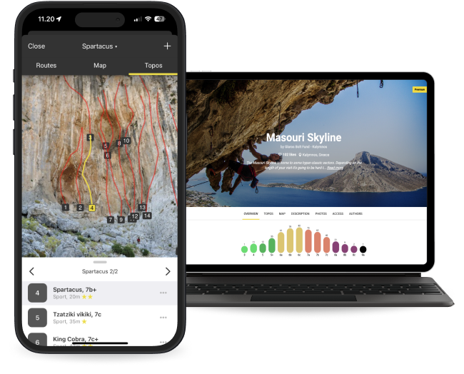
- 7 climbing routes with detailed descriptions
- 5 high quality topo images
- 1 sectors with extra details
- Unlimited access to all the other 4910 Premium crags around the world
- Offline mode: Use topos even when there's no Internet connection
The area is access sensitive!
NOTE! Keep a low profile, no shouting etc. The boulder is on a hill relatively close to someones backyard. Also make sure to park where you don't block access for other vehicles.
To prevent access issues please:
• Follow "Allemansrätten".
• Be very careful to not hurt tree plants or other sensitive vegetation.
• Drive carefully and park where you don't block access for other vehicles.
• Do not litter.
• Keep a low profile.
• Remove tick marks and excessive chalk on holds.
• Be observant of any hunting in the area. If there is hunting going on then do not climb. Avoid the area during the first week(s) of elk hunting season which starts October 8.
Anebo is a 25 minutes drive from Kalmar via Tvärskog and Långaström. From Långaström it's just 5 minutes.
🚘 If you start from Kalmar: Take E22 towards Malmö. Follow signage towards Tvärskog. When reaching Tvärskog turn towards Nybro and after driving through Tvärskog turn left to Långaström. Follow signage towards Alsjöholm.
🚘 If you start from Nybro: Take road 25 towards Kalmar and follow the signs towards Tvärskog. After passsing Högebo take a right turn towards Alsjöholm.
🚘 If you start from Påryd: Drive road 520 towards Kalmar then turn to Runtorp. After 6 km, at the three way crossing in Betekulla, turn left towards Alsjöholm.
🅿️ When reaching Anebo (about 2.6 km after you passed Långaström) continue for another 800 meters and there is a good parking spot on the left hand side of the road in a curve just 250 meters after driving by a turn to Kroksmåla.
🗺️ The parking spots and approach path 🚶 is marked on the map.

