UNLOCK Alegri Premium

UNLOCK Alegri Premium
With Alegri Premium you get:

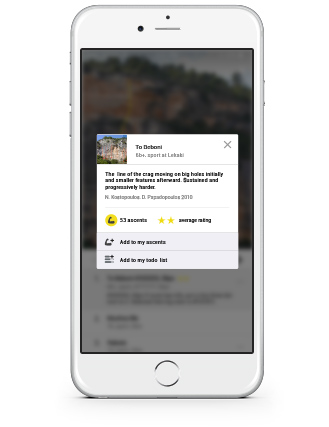
- 54 climbing routes with detailed descriptions
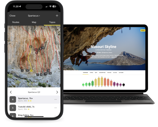
- 10 high quality topo images
- 1 sectors with extra details
- Unlimited access to all the other 4858 Premium crags around the world
- Offline mode: Use topos even when there's no Internet connection
The area is access sensitive!
🇬🇧 Access to the road that goes up from Rodaglio is managed by the Patrizioato di Lodrino; who have decided on a fee to access the road; fortunately payable via app, (photo of the Qr code in the cliff photos).
go up the road for a few kilometers, until a fork; where to park, the cliff is located 40m above the fork, easily identifiable the track (geolocation of the correct app)
🇮🇹 Laccesso alla strada che sale da rodaglio é in gestione al Patrizioato di Lodrino; i quali hanno deciso una tassa per accedere alla strada; fortunatamente pagabile tramite app, (foto del Qr code nelle foto falesia).
salire la strada per qualche chilometro, fino ad un bivio; dove posteggiare, la falesia si trova 40m sopra il bivio, facilmente individuabile la traccia ( geolocalizzazione dell'app corretta)

